Tetons 2001 Trip
Trip report for Tetons
Alan Dixon & Ryan Jordan – August 2001
I ended up with some last minute free time in Idaho Falls. What else to do but go to the Tetons? I called Ryan and he gave me information on how to enter the park and possible routes. We agreed to meet at noon on Sunday. That gave me three days solo hiking in grizzly country (actually I think they already went north, but it sounds good) until I met Ryan. And then three days hiking with Ryan. The following is a picture documentary of one of the nicer trips I’ve been on the last few years.
I’ve borrowed some photos from Ryan where they help the continuity of the report. I’ve credited Ryan on these photos.
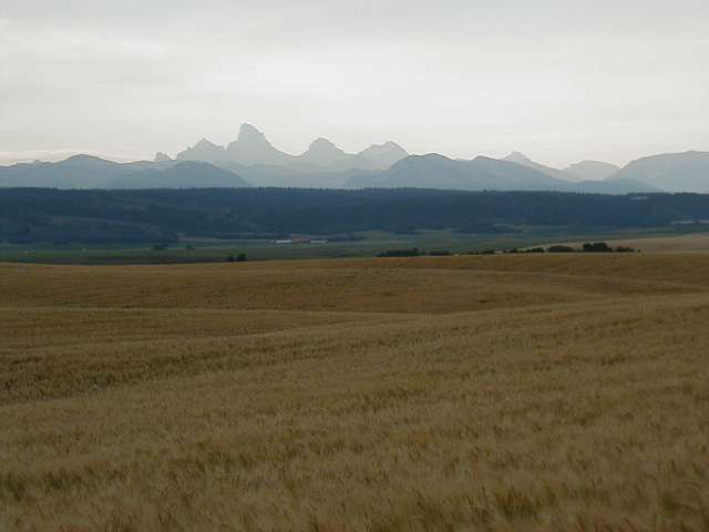
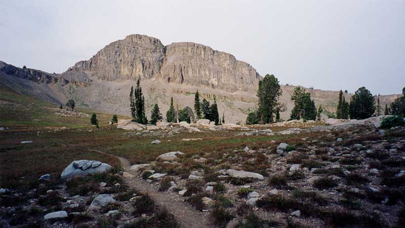
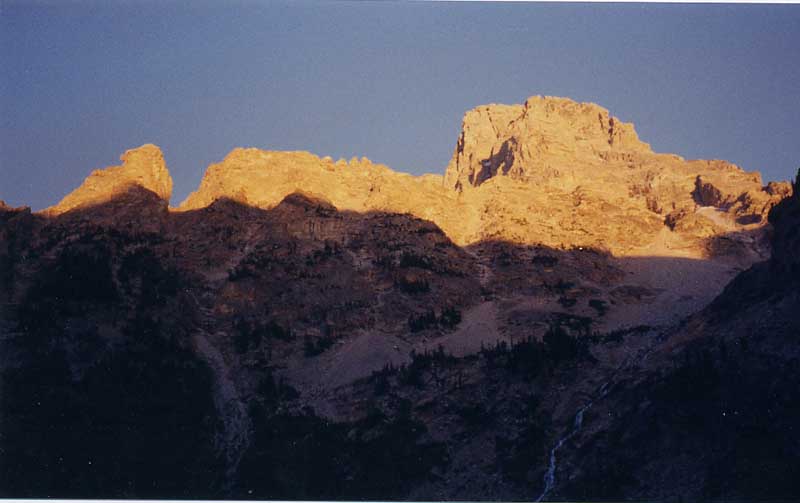
View of the “backside” of the Tetons. This what you see as you drive to trailhead. [photo courtesy Ryan Jordan]
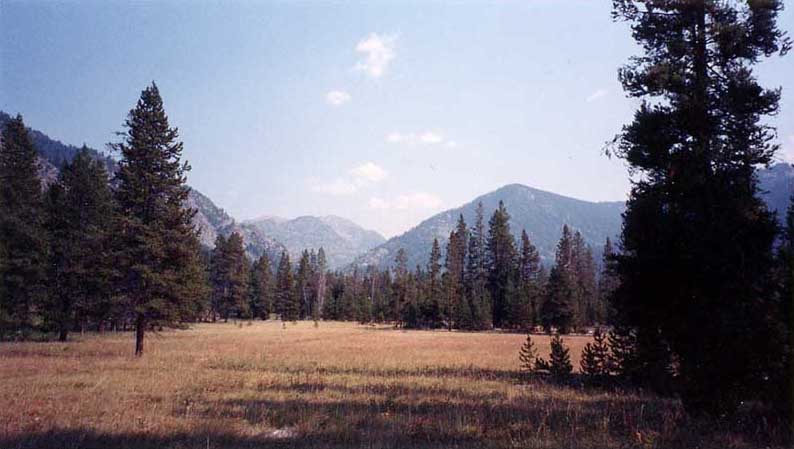
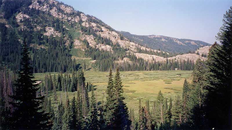
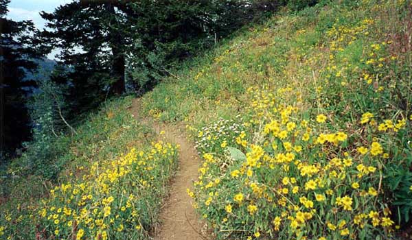
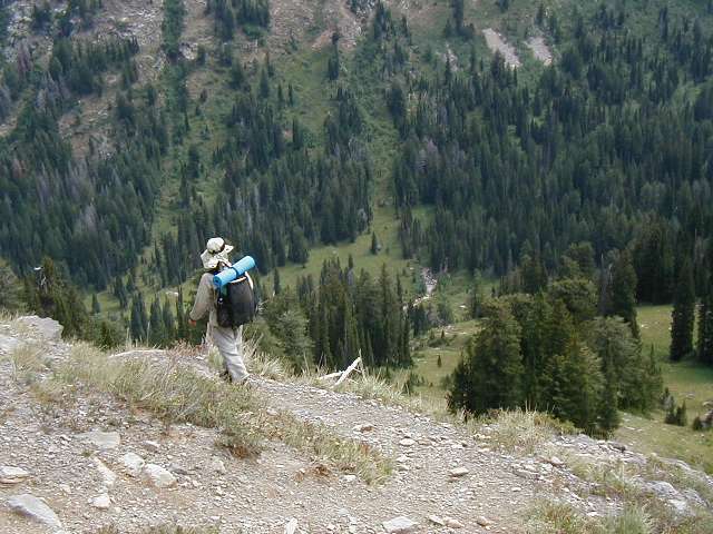
It’s an easy hike in from Coyote Meadows. Gentle sub-alpine stream valley meadows go on for miles and miles.This portion of the park is deserted. I saw nobody for two days.
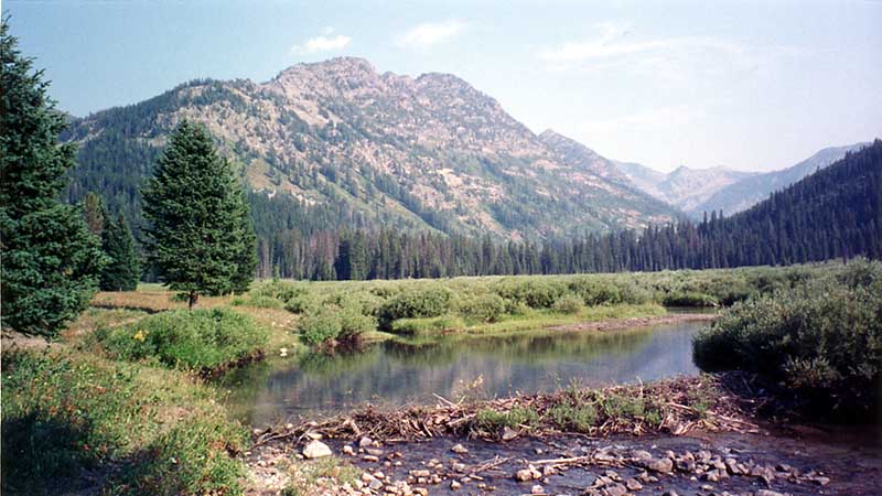
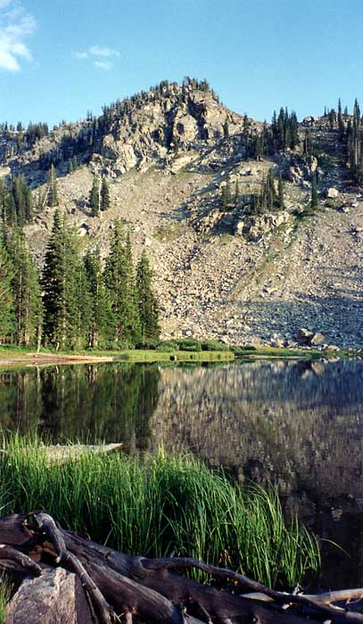
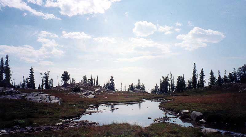
After 8 miles: a nice beaver dam and your first view of Hidden Corral Basin.
It was 5 PM and I decided to climb the 1,500 feet out of Hidden Corral Basin to Camp Lake.
Along the way I met my first moose of the trip (not pictured).
A nice view of Hidden Corral Basin on the descent from Camp Lake the following morning.
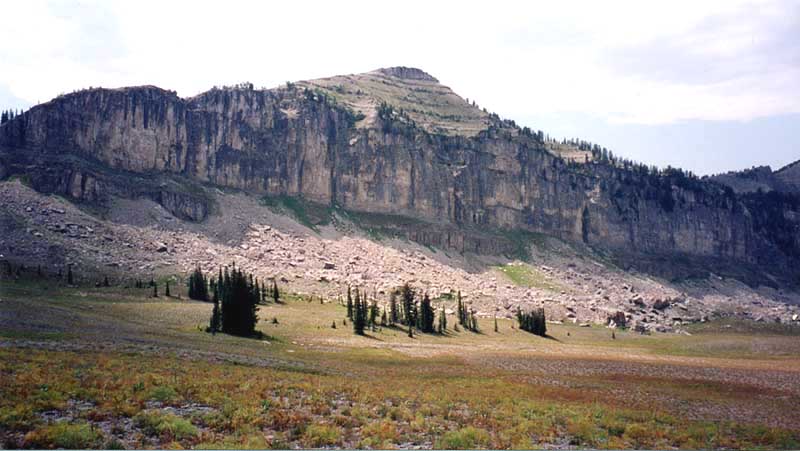
View from near the top of Dead Horse Pass. Watch out for this one. It’s steep and aptly named. You’ll feel like a dead horse at the top. The trail climbs almost 2,000 feet in a couple of miles with no switchbacks to speak of. The steepest portion is below the trees bordering the top of an obvious ledge. You still have another 1,000+ foot climb out of Badger Creek ahead of you.
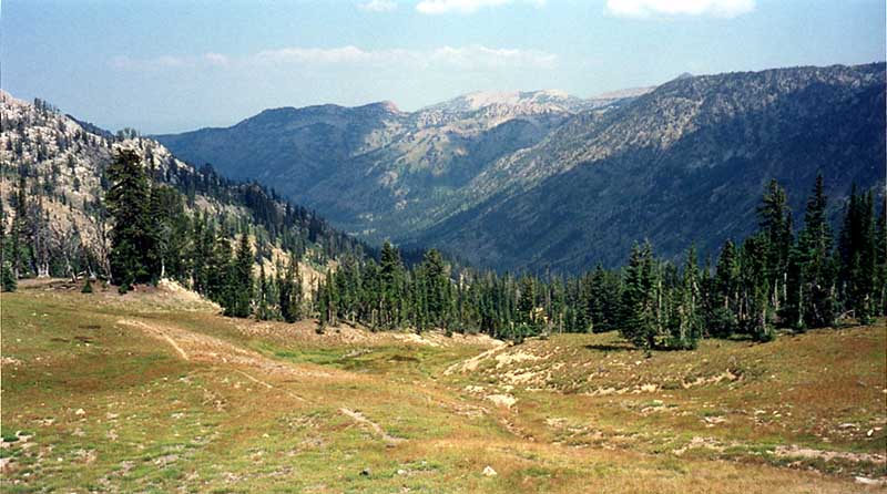
One of the many high plateaus. This one is somewhere between Dead Horse Pass and Green Lakes.
A small glacier fed lakelet on the crest before Green Lakes.
My first tantalizing view of the Tetons just before descending into Green Lakes.
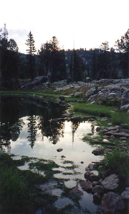
Dawn at a small tarn near my campsite at Green Lakes.
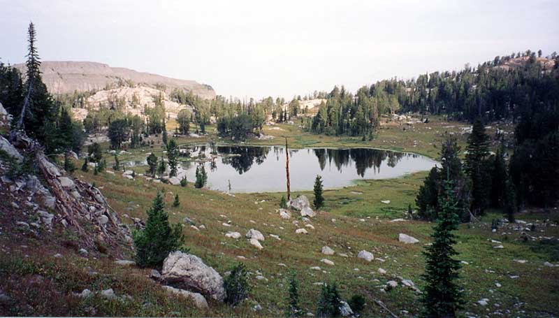
The first of Green Lakes at the junction of trails 008 and 018. I camped here on my second night. The view is looking back at the lake as I start my hike to Granite Lake Basin. I saw my first people at Green Lakes. Both Green Lakes and Granite Basin Lakes are very popular camping areas.
Early morning on the trail from Green Lakes.
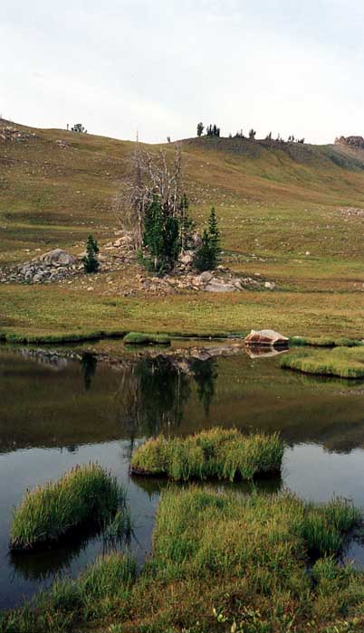
The whole route from Badger Creek to Granite Basin is dotted with beautiful lakelets
like this one. Nothing prepared me for what would happen later in the day!
Nearing the crest between Green Lakes and Granite Lakes Basins. The weather changed to cloudy mornings and stayed that way for the rest of the trip.
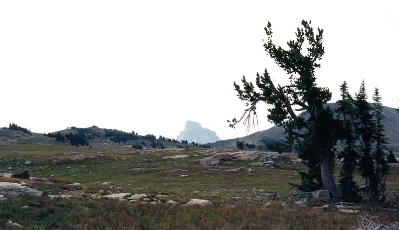
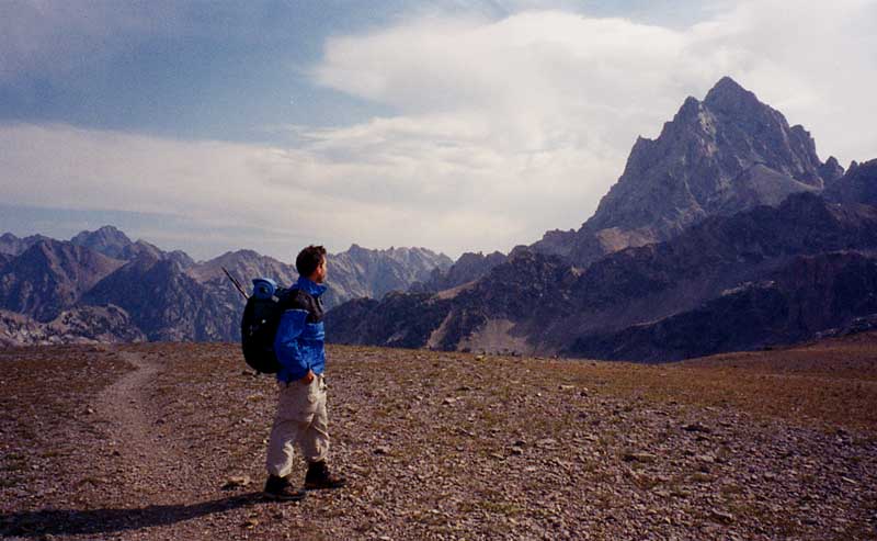
A neat glimpse of the Grand Teton across the high plateau that divides the two lake basins. By the time I decended the ridge to Granite Lakes I could no longer see it. I would be another day before I would get a full uninterrupted view of the Tetons.
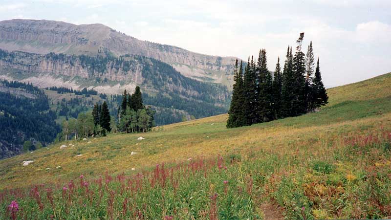
Fireweed in bloom. This is past Granite Lakes and begining the descent to South Leigh Creek.
More trail wildflowers. The trail descends into an impressive set of swichbacks as it drops into South Leigh Creek. This was my major shock of the trip. The creek was dry! Nothing had prepared me for this eventuality. I would end up climbing almost 2,000 feet and going 10 miles before I saw water again. I was so surprised that I fogot to take picures from the bottom of the dry creek bed. I just lit out to find water.
Baked and parched: Nearing the summit and junction with Fred’s Mountain Trail (025). I think this bump may be Fred’s Mountain. I struck out x-country to Leigh Lakes in the hopes that one of them would have water.
Scary drought! My first water in a long, LONG time. Only a few inches deep. I had to scoop water out using a 20 oz plastic bottle. Then filter it for algea and water bugs. Nonetheless it was good. I drank three liters and then retired to the shade to rest.
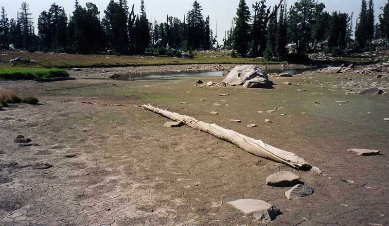
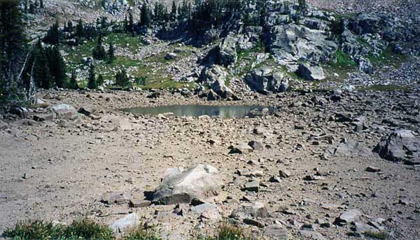
Another scary lake. This one is only a few percent of its original area. The puddle in the bottom is 20+ feet below where the water level should be.
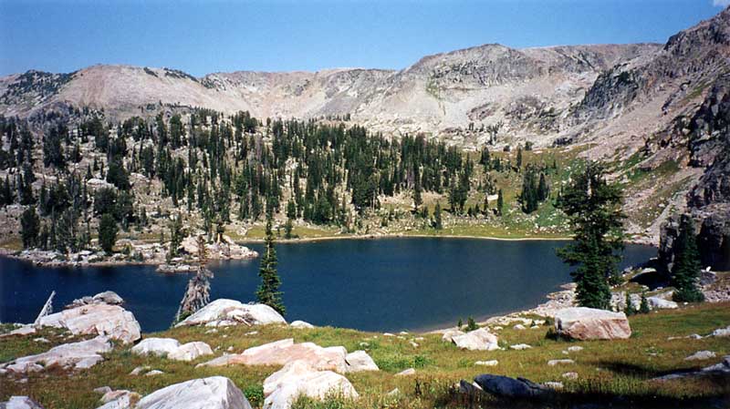
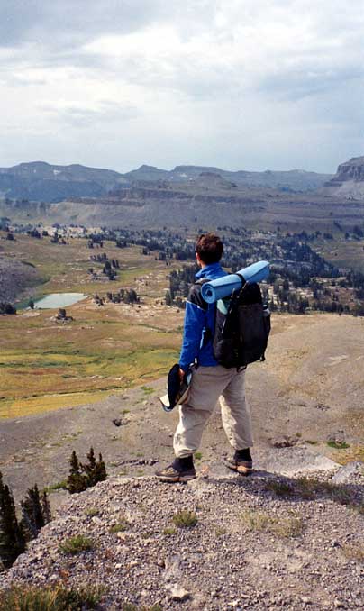
After resting I hiked on and came to this sight for sore eyes. I immediately went down and took a long swim. This view is from my campsite.
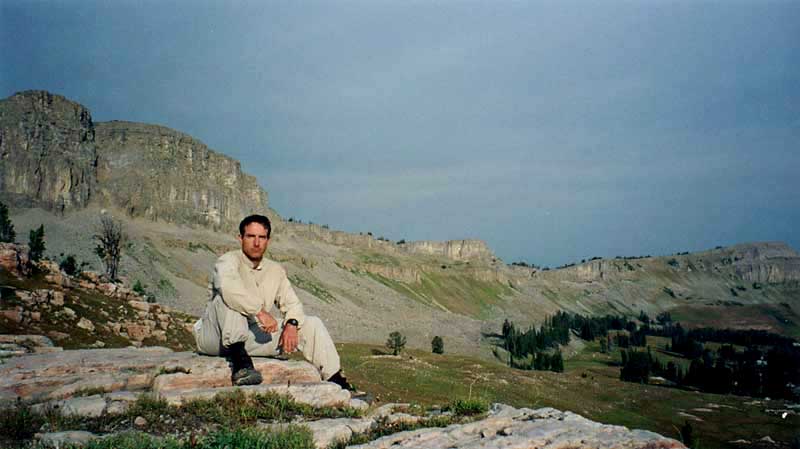
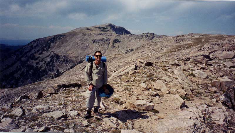
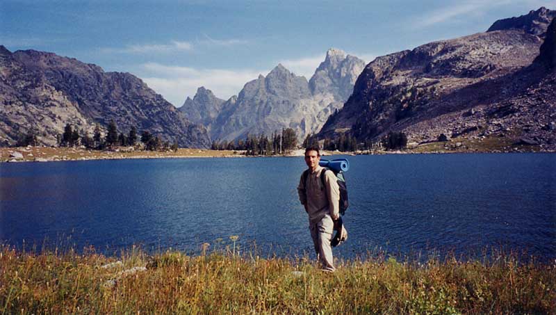
The view from the ridge between South Leigh Creek and Teton Creek drainages. My first sight of the complete Teton Complex. This is where I met Ryan. Meeting time was noon. I was there at 11:00. Ryan was there at 11:30. Not bad for not having talked to each other in over two weeks.
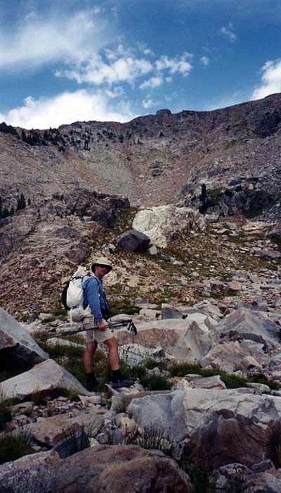
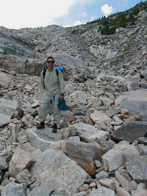
Ryan starting to climb the loose steep stuff up to the ridge dividing Leigh Lakes Basin and the park proper.
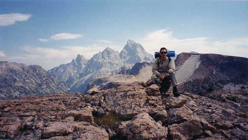
The top of the ridge at last and my first unobstructed view of the impressive Mt. Moran.
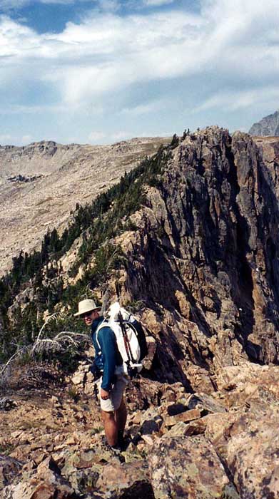
Ryan getting ready to cross the knife edge to the plateau on the other side.
Over the knife edge and a look north towards Little’s Peak.
Taking in the almost 360 degree views from the ridge top.
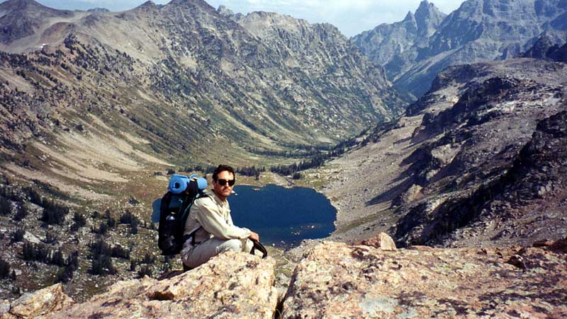
Thinking about how long it will be before I can swim in Lake Solitude many feet below me.
Working down some loose steep stuff. [photo courtesy of Ryan Jordan]
Over two hours later I’m finally down but what a view!
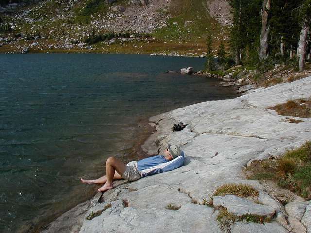
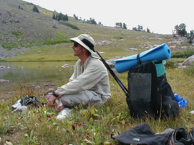
Ryan soaking some sore feet after the descent to Lake Solitude. [photo courtesy of Ryan Jordan]
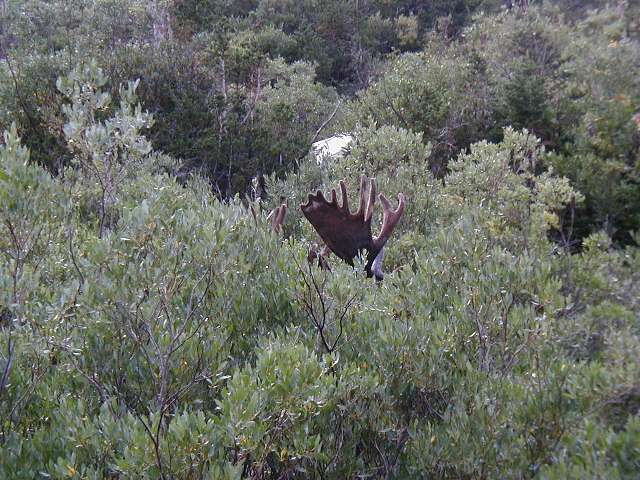
On the way down canyon Ryan and I surprised a bull moose with a rack the size of my dining room table. It was only 20 feet away! All of us were very nervous, but we sorted it out with no problems. Glad he wasn’t in rut! By the time Ryan got the camera out this was all we could see. [photo courtesy of Ryan Jordan]
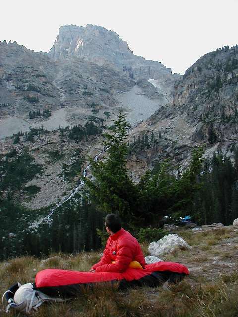
Alpen glow on the Grand Teton as seen from our camp.
Ryan’s view at sunrise. [photo courtesy of Ryan Jordan]
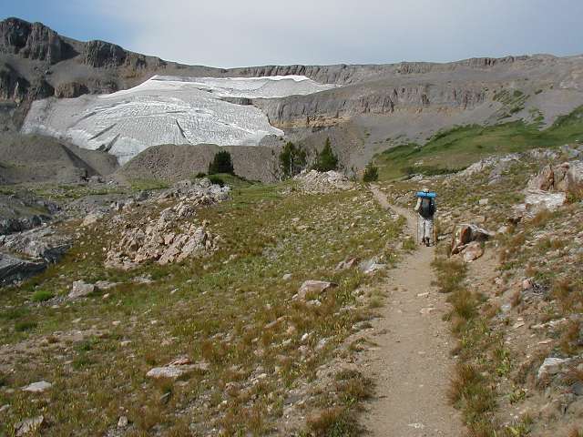
Hiking up towards Hurricane Pass. Schoolroom Glacier is on the Left. [photo courtesy of Ryan Jordan]
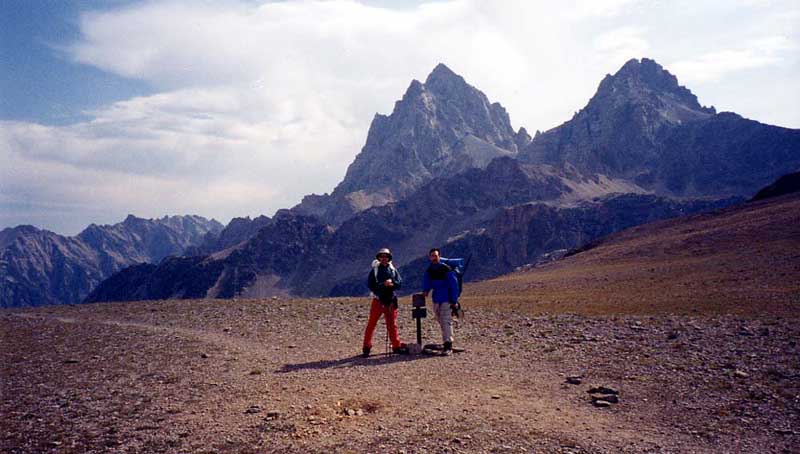
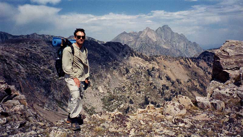
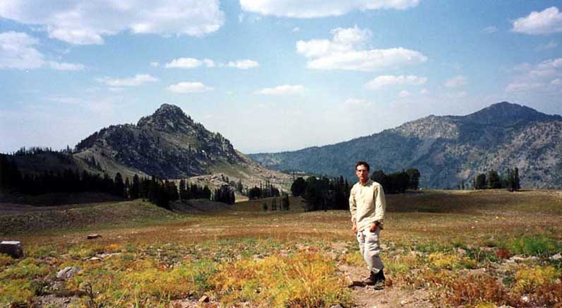
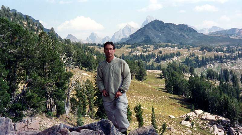
Alan and Ryan at the very windy summit of the aptly named Hurricane Pass.
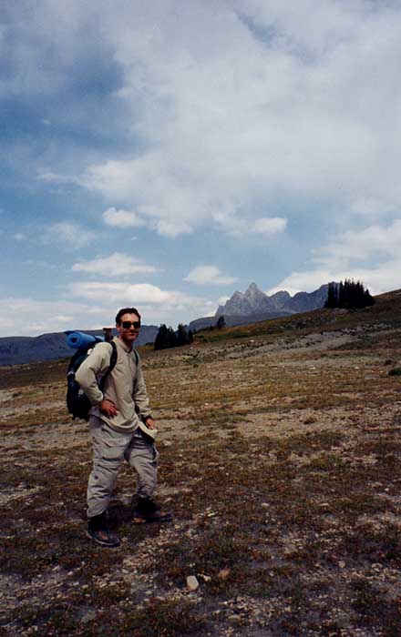
Taking a last look at the Tetons before descending into Alaska Basin.
Sunset Lake and my first view of Alaska Basin
Breakfast at Sunset Lake with Ryan. My pack weighed about 17 pounds including food and photo equipment for the six day trip. [photo courtesy Ryan Jordan]
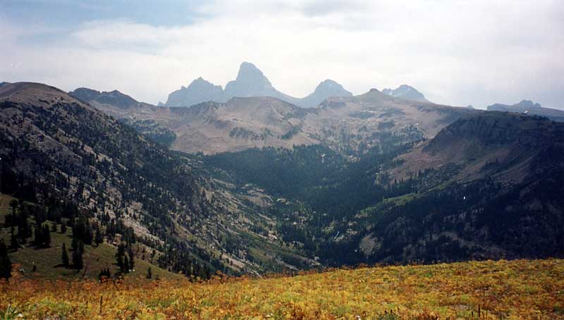
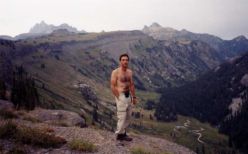
Over Mt. Meek Pass and a view back towards the Tetons. They do dominate the scenery in this area.
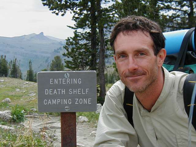
Finally to the fabulous Death Shelf. I am excited. [photo courtesy Ryan Jordan]
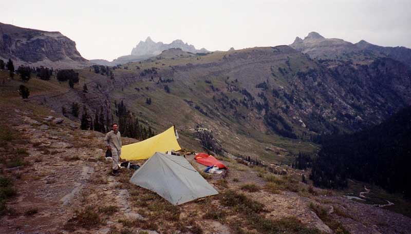
Our amazing campsite. Not good for sleep walking though. It’s over 1,000 feet straight down. This was the first rain of the trip and the only night I setup my Silshelter.
Ryan and I had dinner and watched five moose graze in the meadow by the stream meanders below.
Last light on the Tetons.
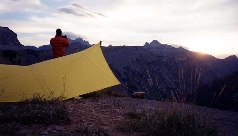
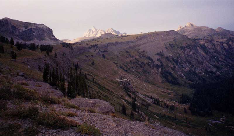
View from my tarp at sunrise. Wow! Notice the lenticular cloud over the Tetons.
Down Devil’s Staircase. One the the steepest trails I’ve ever done. It drops 500 feet in the first 1/4 mile. [photo courtesy Ryan Jordan]
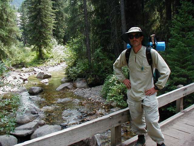
End of the trip. Bridge over Teton Creek just before trailhead and Ryan’s car. [photo courtesy Ryan Jordan]


Leave a Reply
Want to join the discussion?Feel free to contribute!