Old Trip Reports – 2008 to 2000
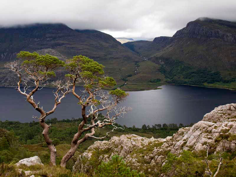
Old trip reports, Scotland 2008: sudden opening in the clouds illuminates a lone tree and a small outcrop overlooking Loch Marie in Wester Ross. The summit of Slioch (left) is still shrouded in mist at midday. [Handheld with Olympus E-520 and stock 14-42mm f/3.5-5.6 Zuiko ED Zoom lens.]
We just launched an entirely new site. Most of the older trip reports (2008 and earlier) haven’t made it over yet. Scan through the list below and what you were looking for is probably there.
And if you opened this post out of curiosity.
Take a peek at some of these old trip reports. There are some great trips in there!


